Electronic Chart Display and Information System (ECDIS)
ECDIS Training Courses Are
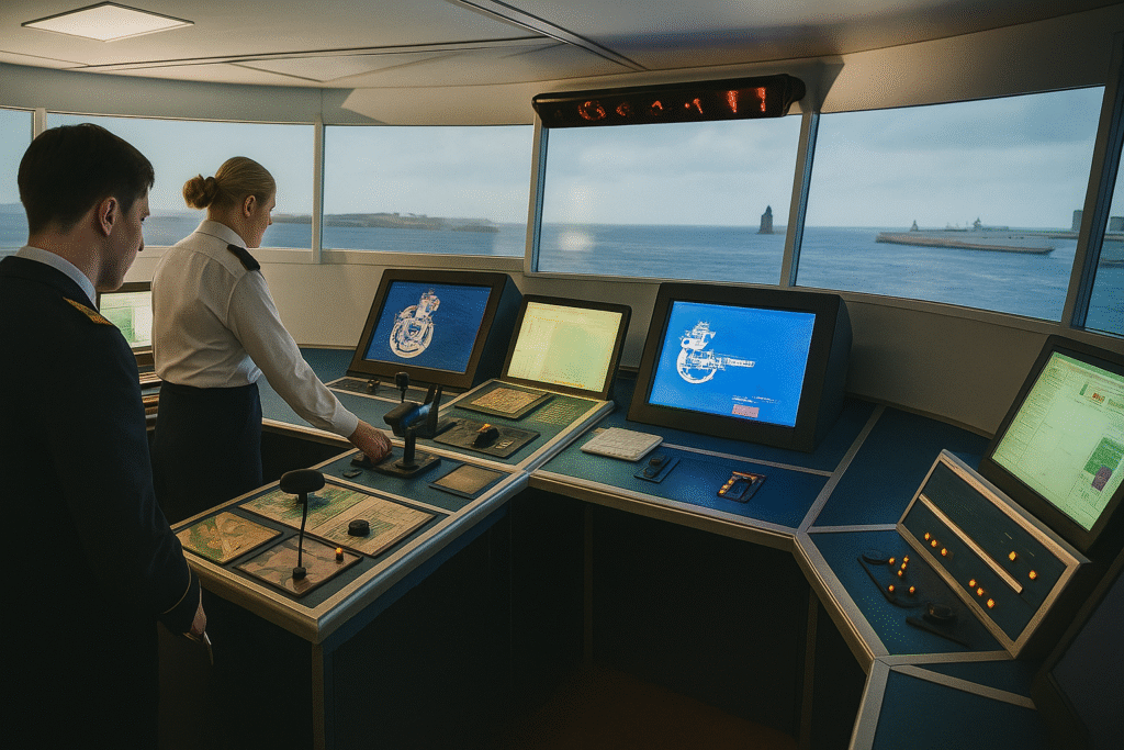
The Electronic Chart Display and Information System (ECDIS) is a sophisticated digital navigation system that integrates GPS positioning with electronic navigational charts (ENCs) to enhance maritime safety and operational efficiency. ECDIS provides real-time vessel tracking, route planning, and navigational alerts, reducing the risk of human error and improving situational awareness. Our advanced ECDIS training covers system operation, data management, chart updating, route optimization, and emergency procedures. The course aligns with IMO and STCW requirements, ensuring that officers are fully competent in ECDIS use for safe navigation and compliance with SOLAS regulations.
Vision of the Course:
- Enhance navigational safety
- Standardize ECDIS proficiency
- Improve voyage planning and monitoring
- Ensure compliance with international standards
- Build user confidence in digital navigation
Scope of the Course:
- Operate ECDIS in normal and emergency conditions
- Use ENC data for safe navigation
- Plan and monitor voyages effectively
- Integrate ECDIS with bridge systems (AIS, radar, GPS, autopilot)
- Comply with STCW Code A-II/1 & A-II/2 requirements
Why This Course is Needed
- Mandatory for many commercial vessels under IMO
- Transition from paper charts to digital systems
- Increased need for alarm and system handling skills
- Greater focus on situational awareness and error prevention
- Ensures competency in using integrated navigation systems
Course Content
A. Theoretical Modules
- ECDIS overview and legal framework
- ENCs, raster charts, and data integrity
- Route planning and safety settings
- Alarm systems and system configuration
- Sensor inputs and chart updating
- Limitations and backup procedures
- IMO & SOLAS compliance
B. Practical Modules
- ECDIS hardware/software use
- Voyage planning and route editing
- Safety contours and manual corrections
- Real-time navigation and monitoring
- Alarm handling and emergency response
- System integration with GPS, radar, AIS
- Scenario-based simulations and exercises